

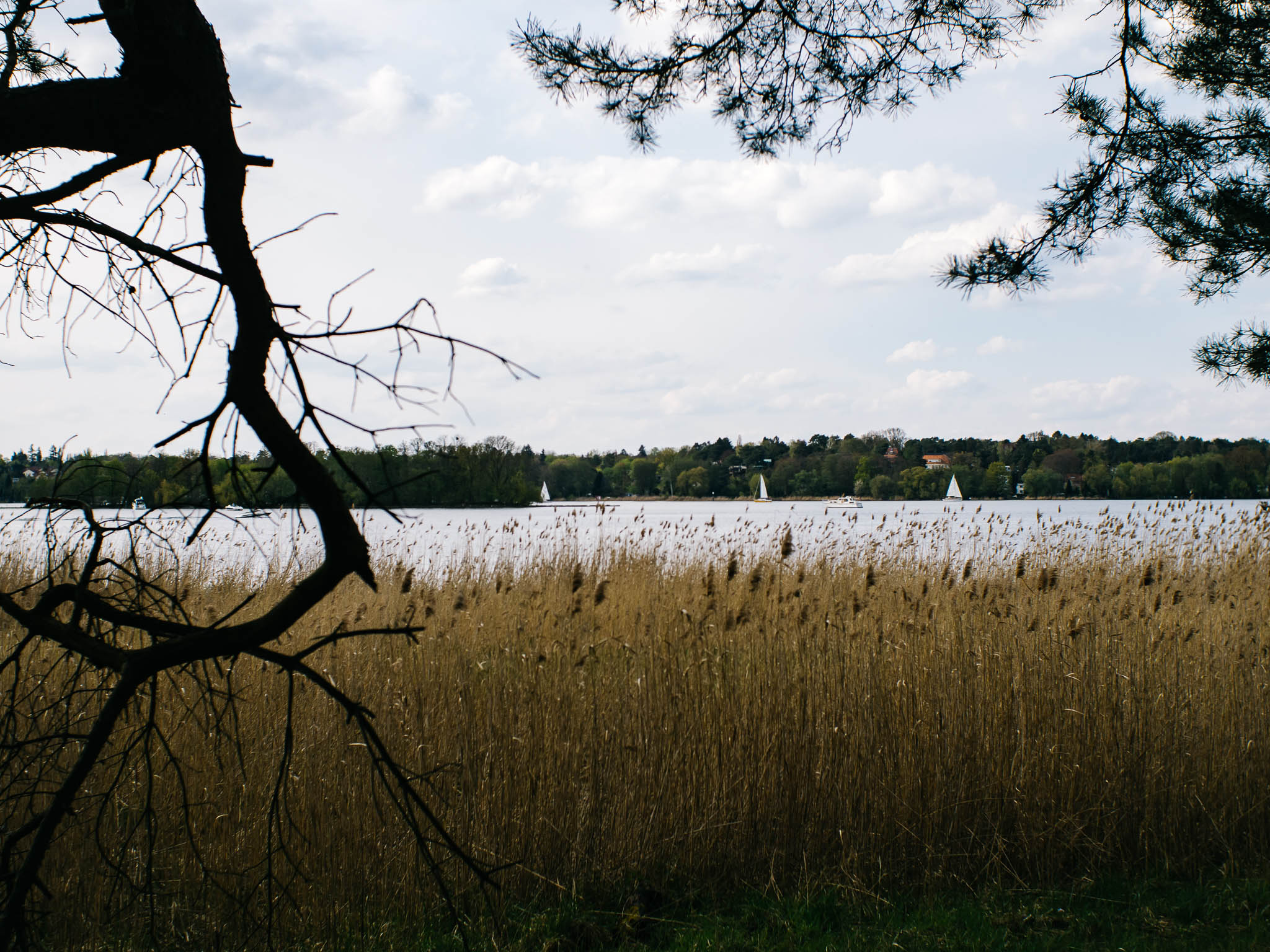
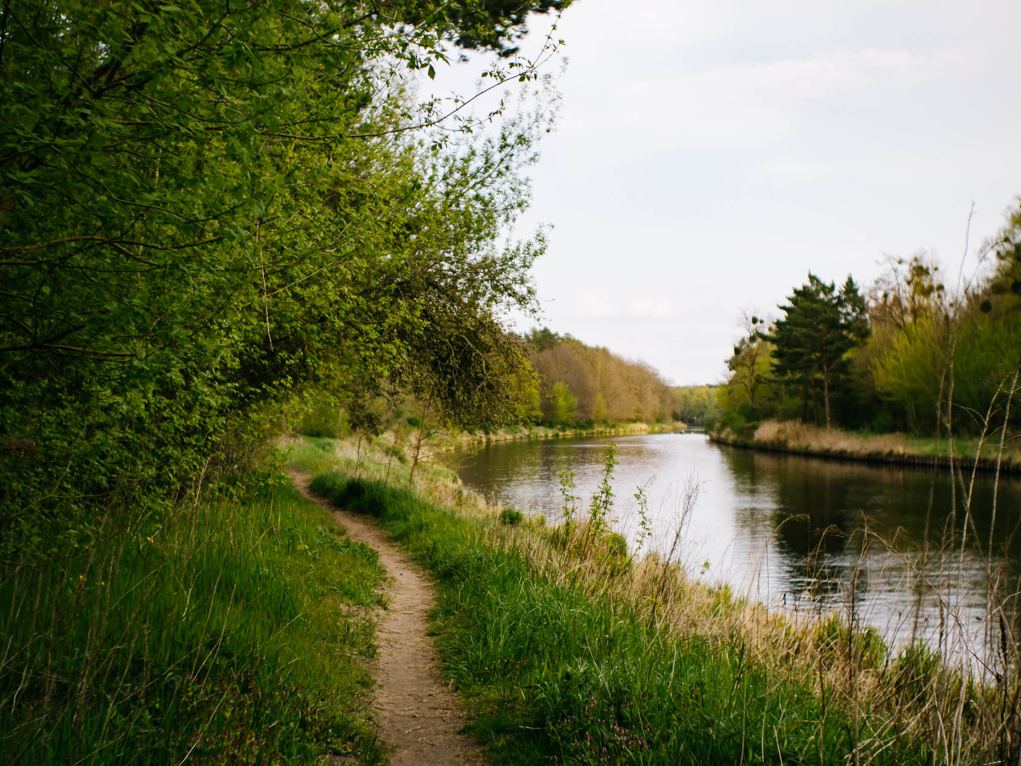
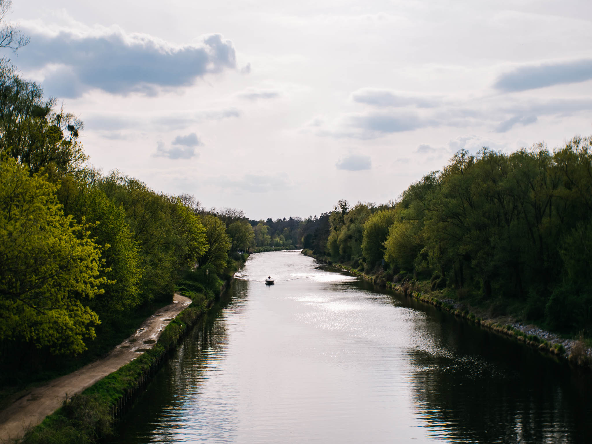
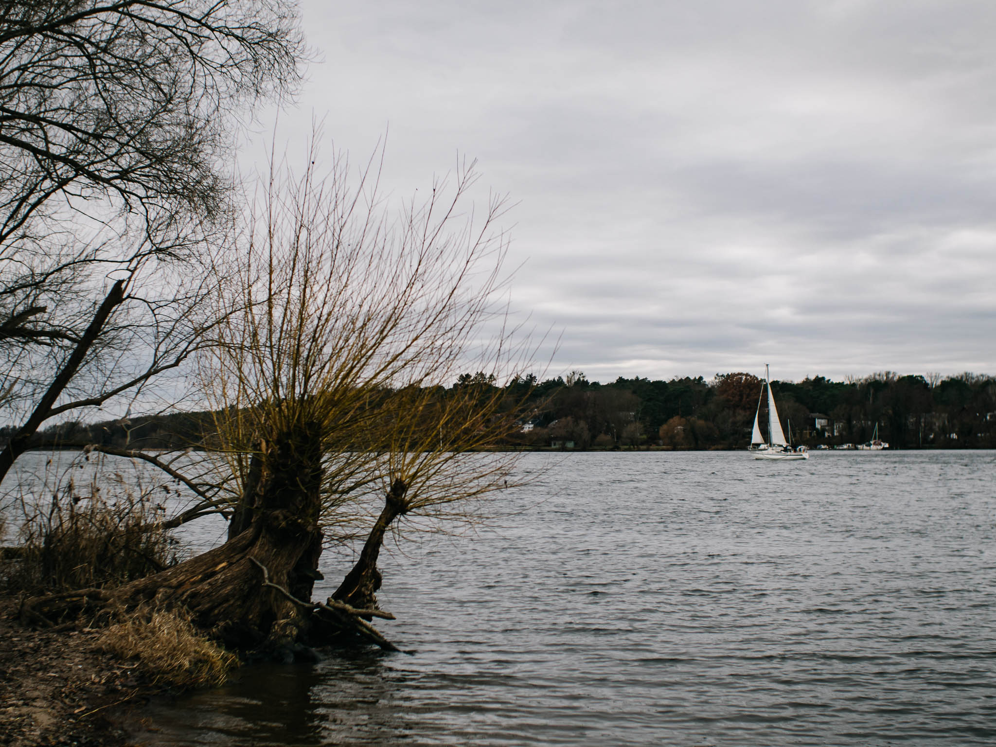
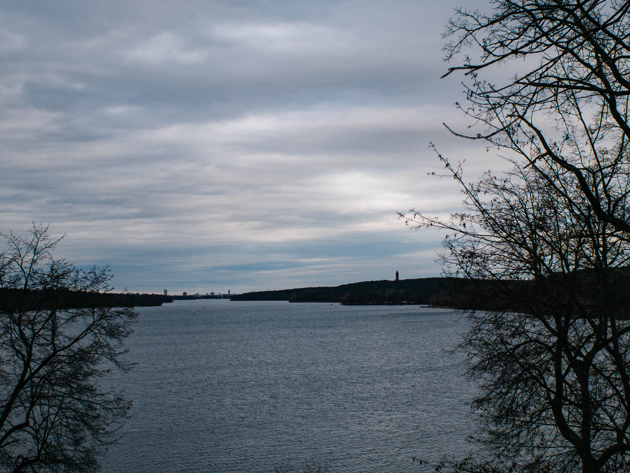
Wannsee & Teltowkanal
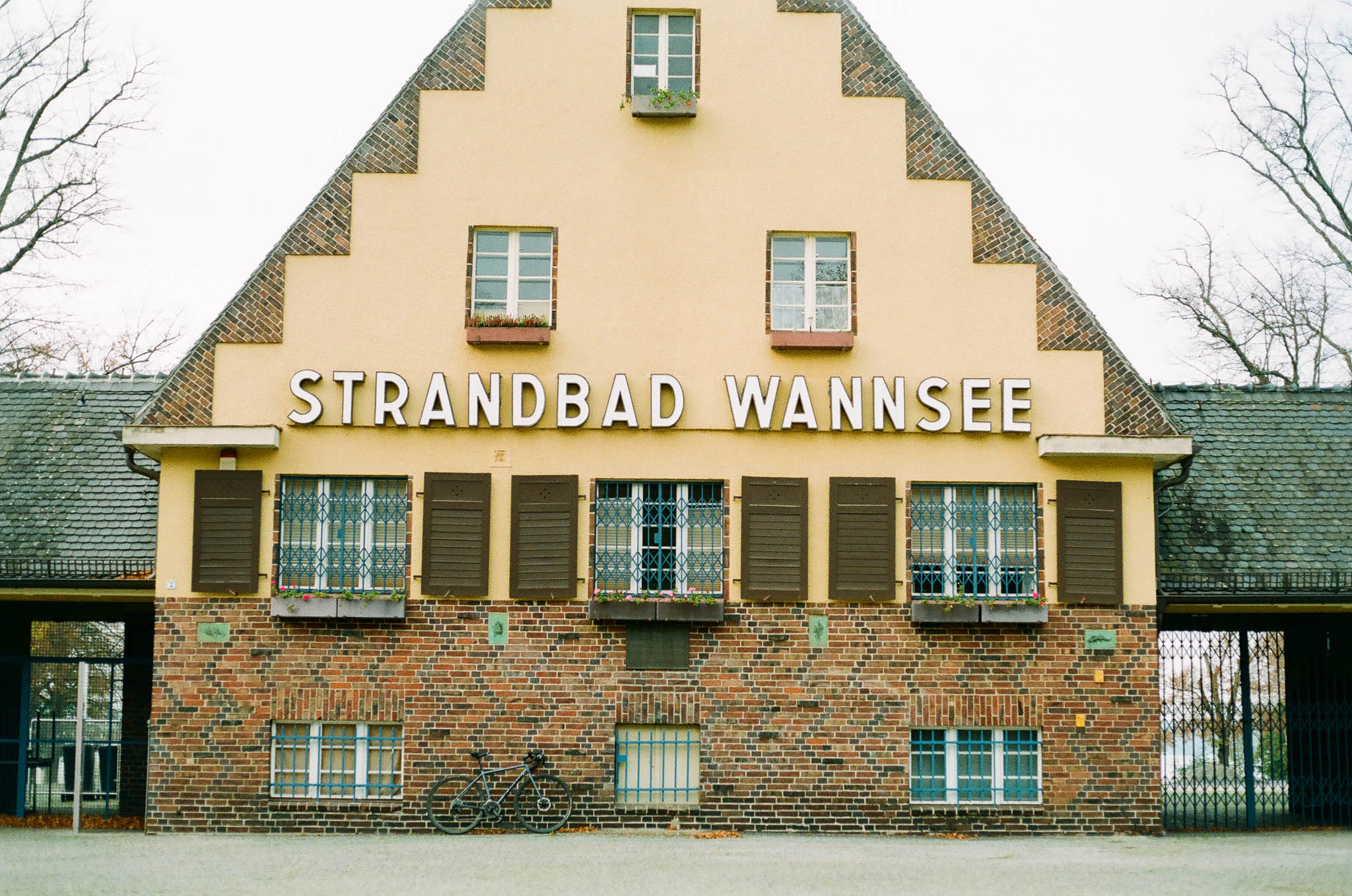
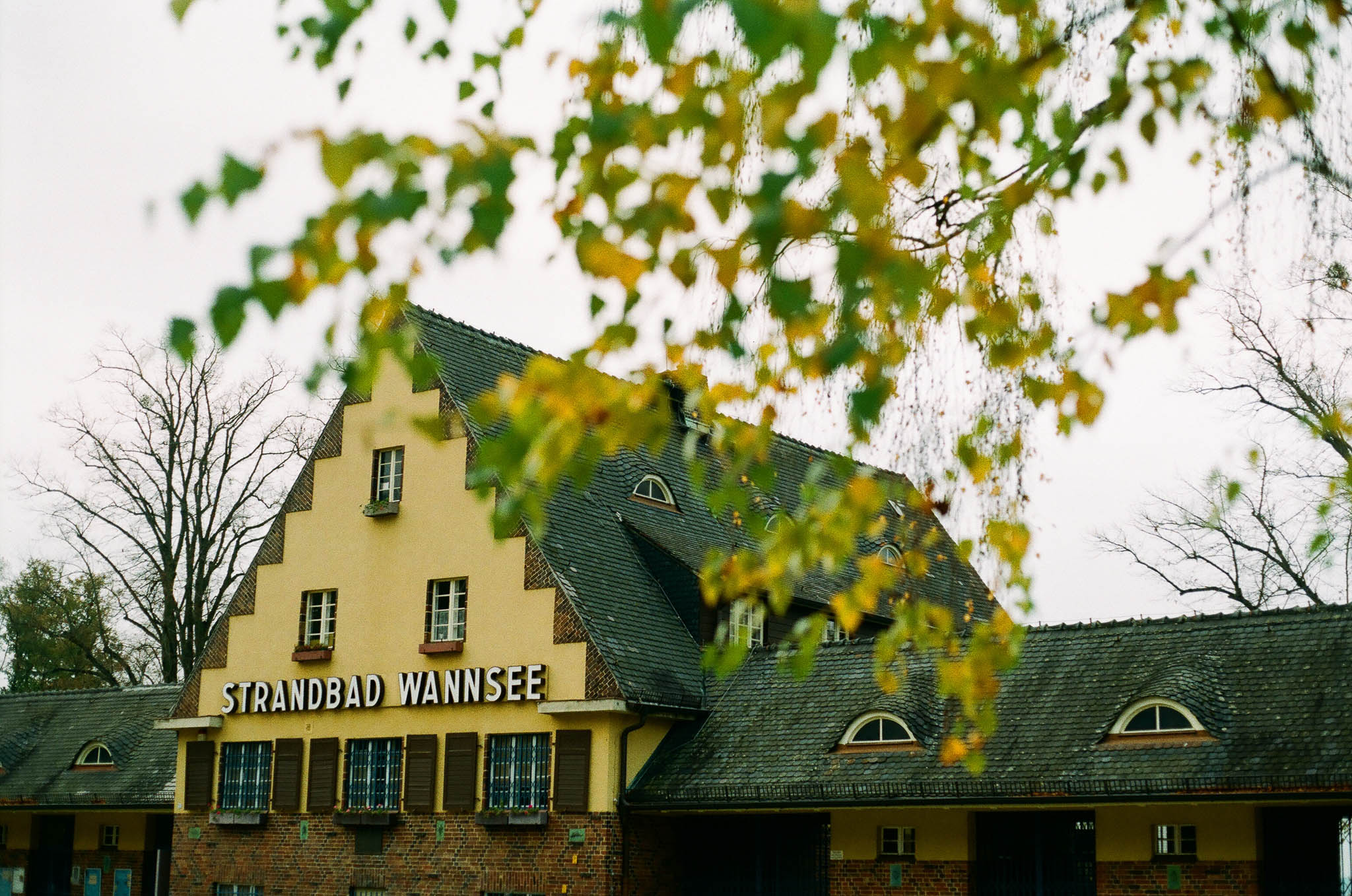
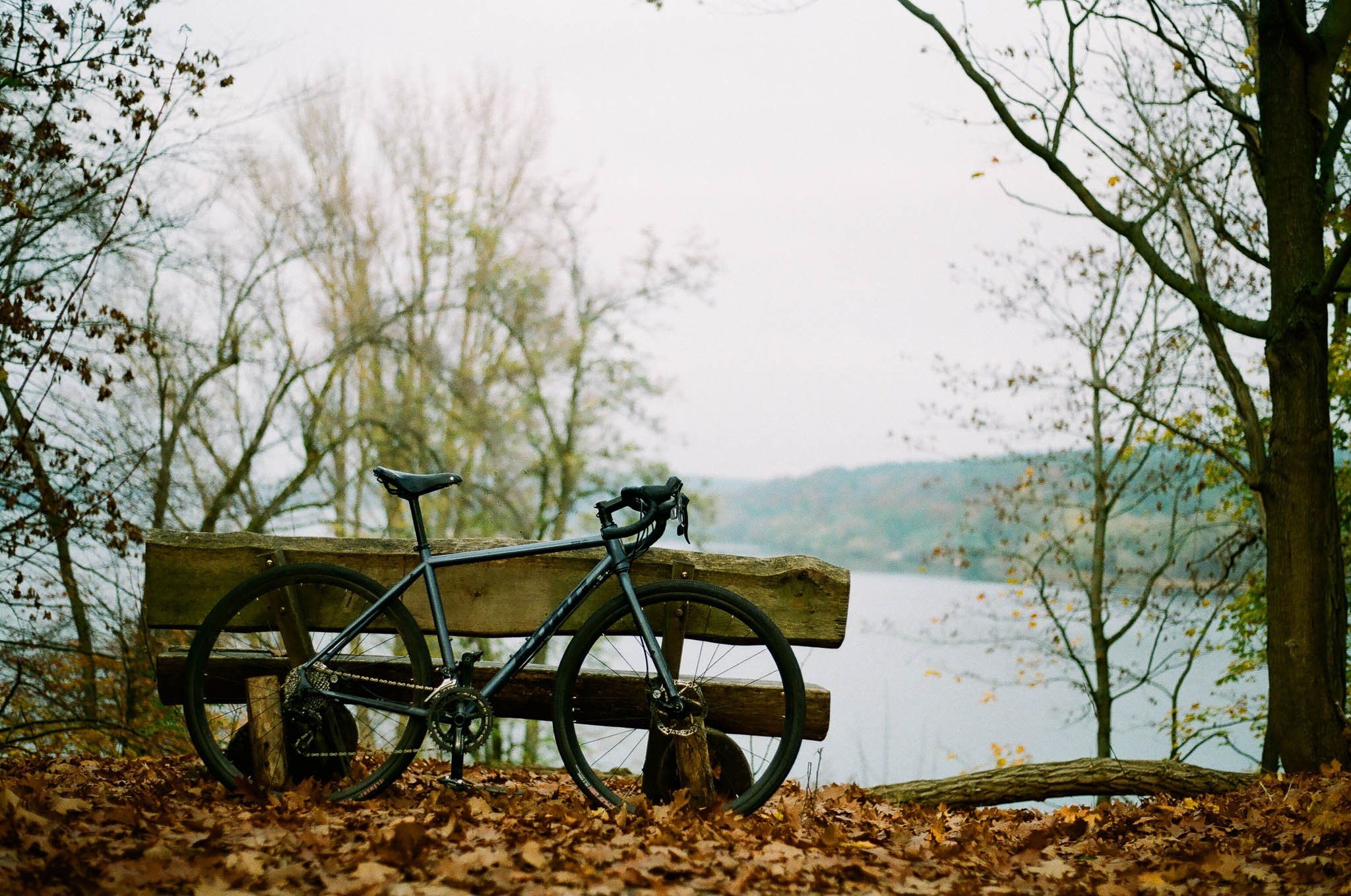
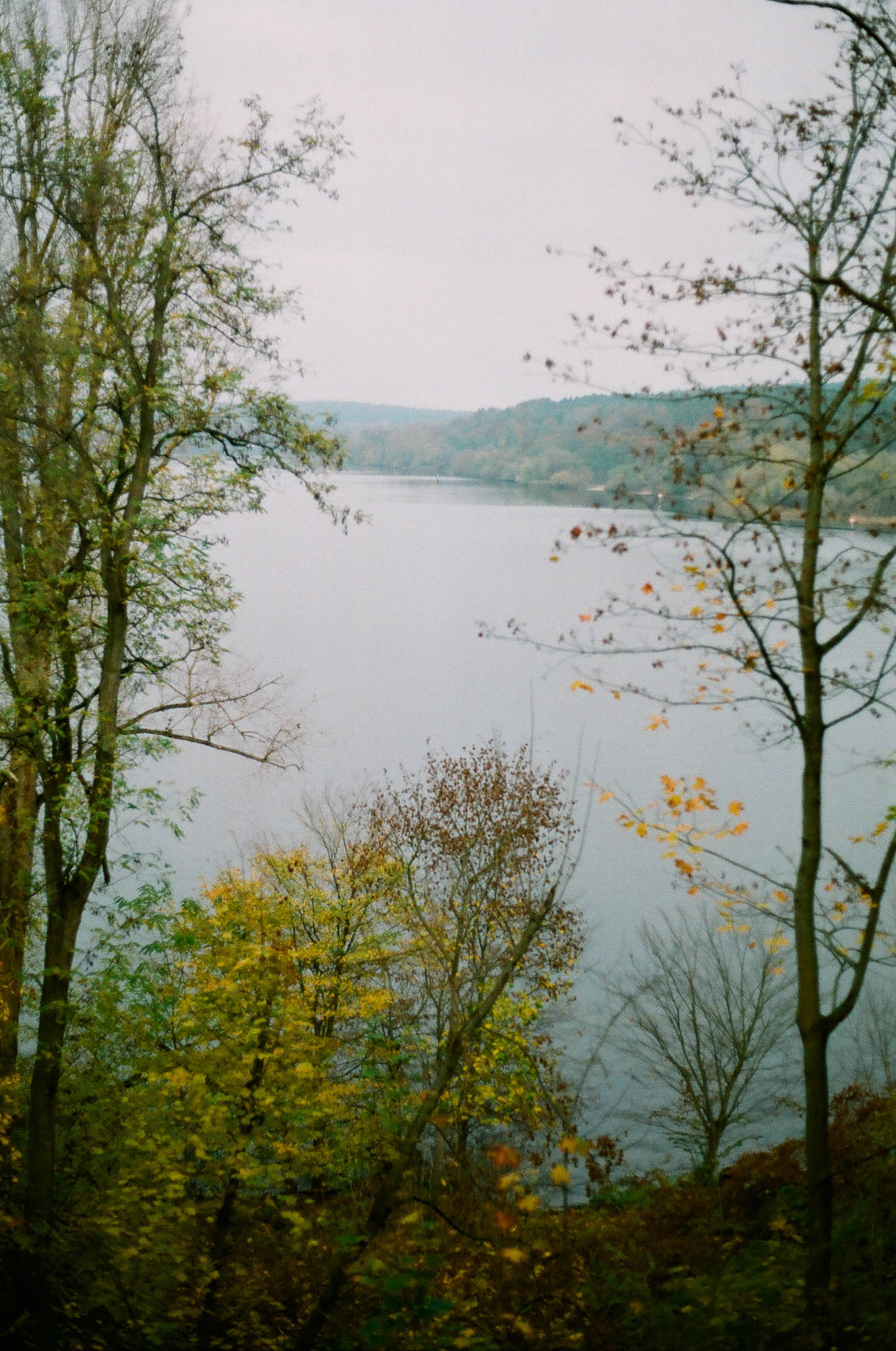
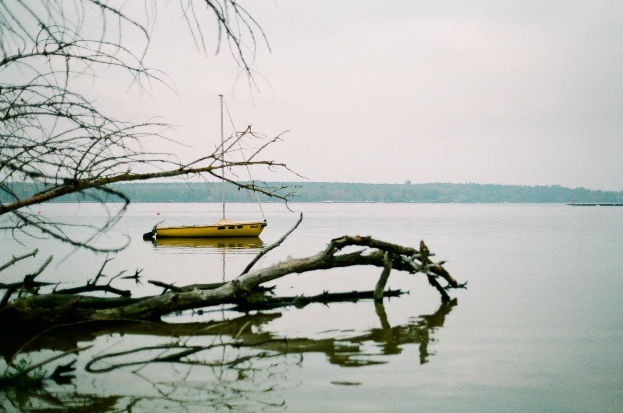
Wannsee
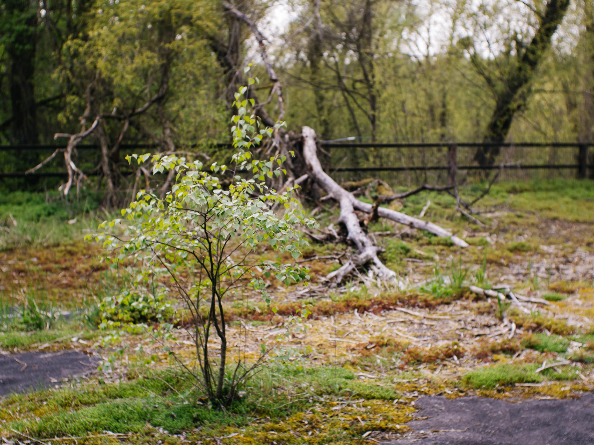
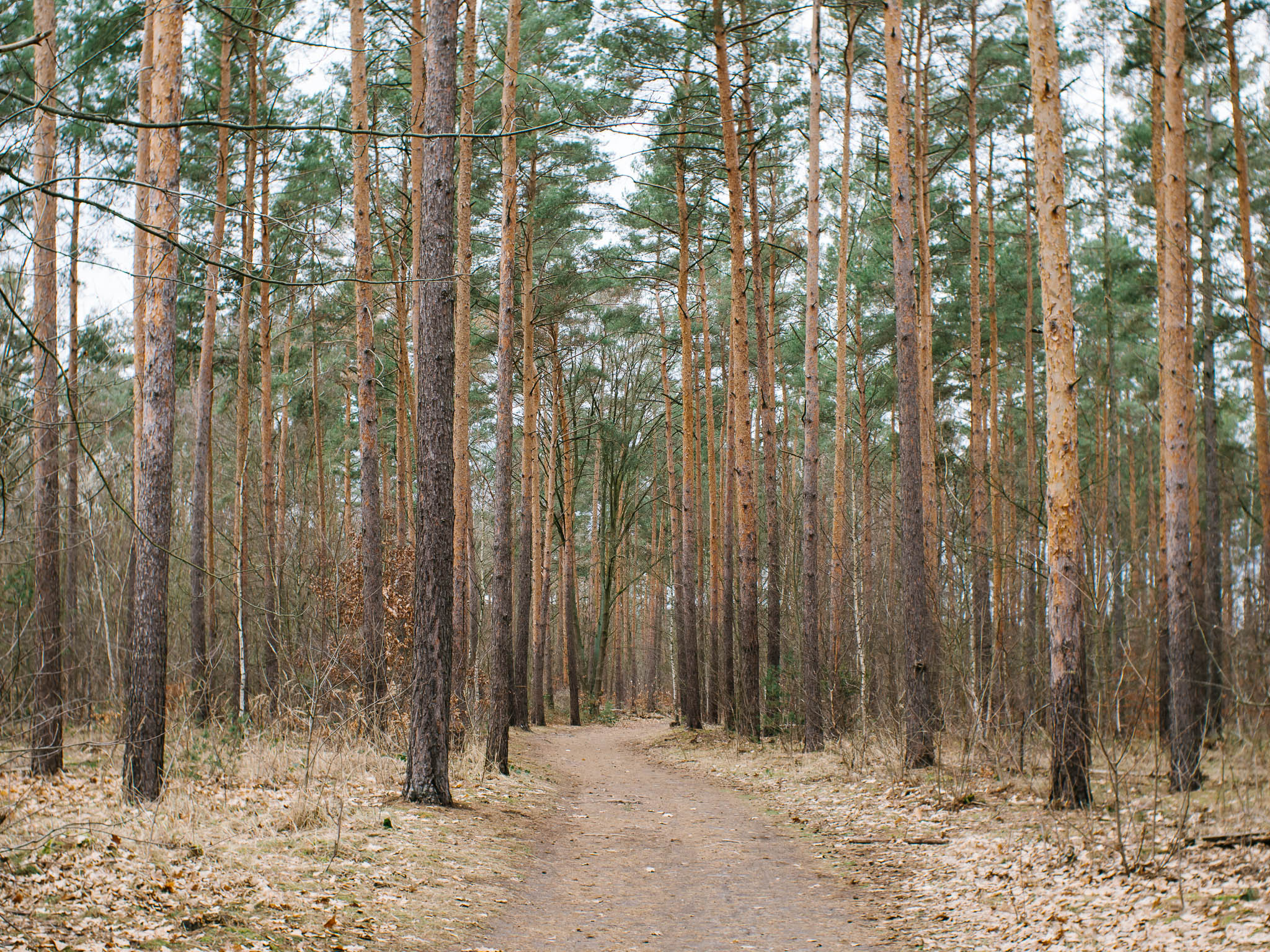
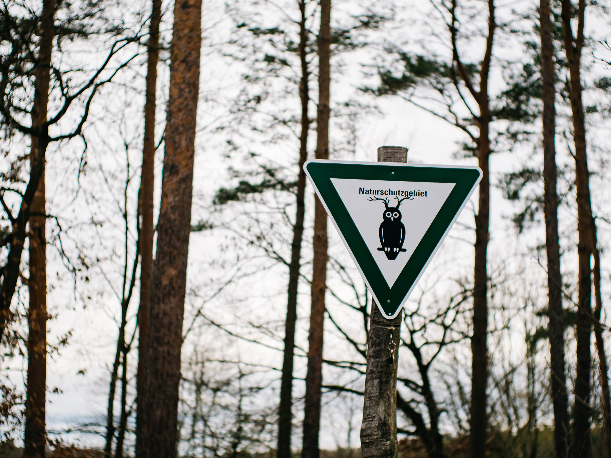
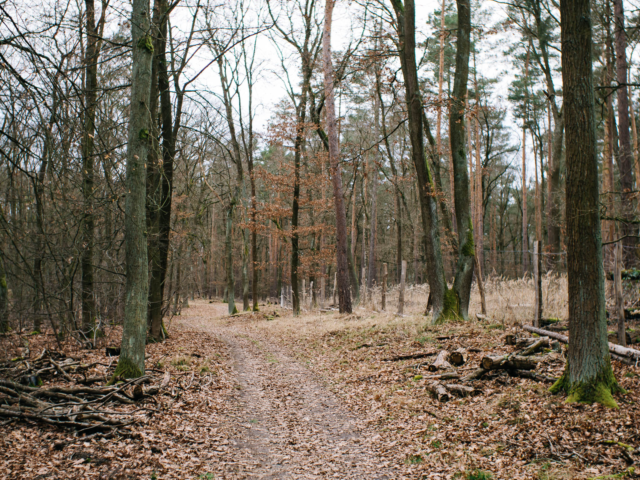
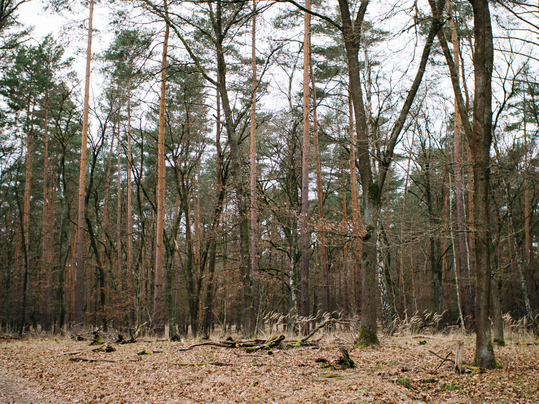
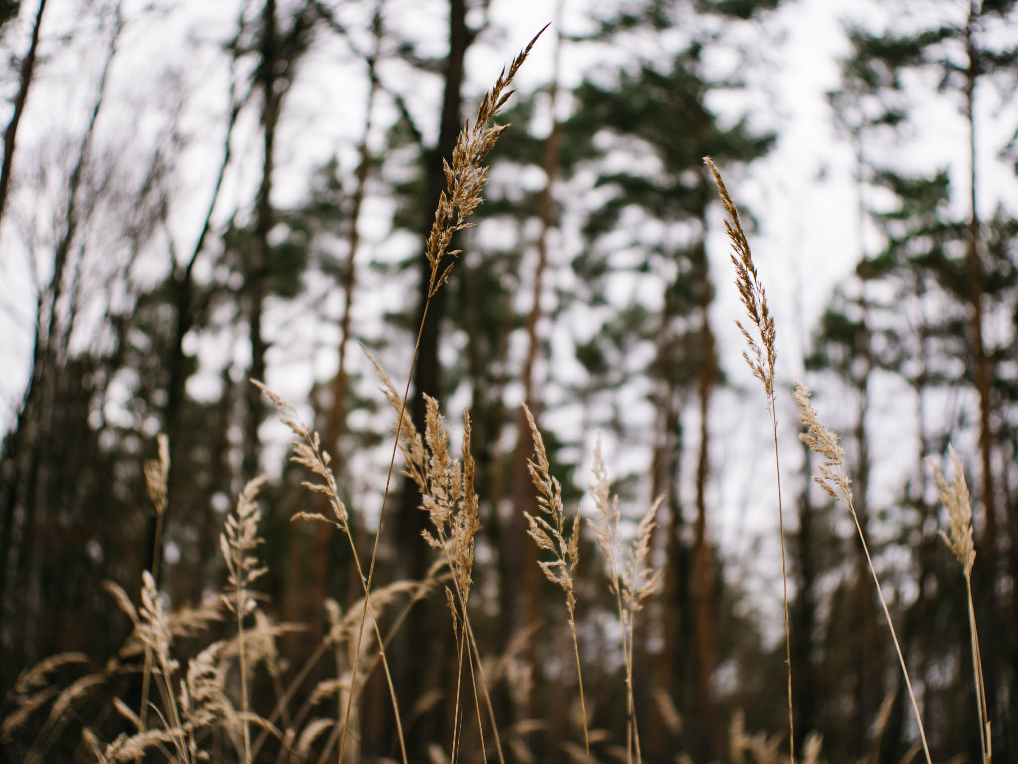
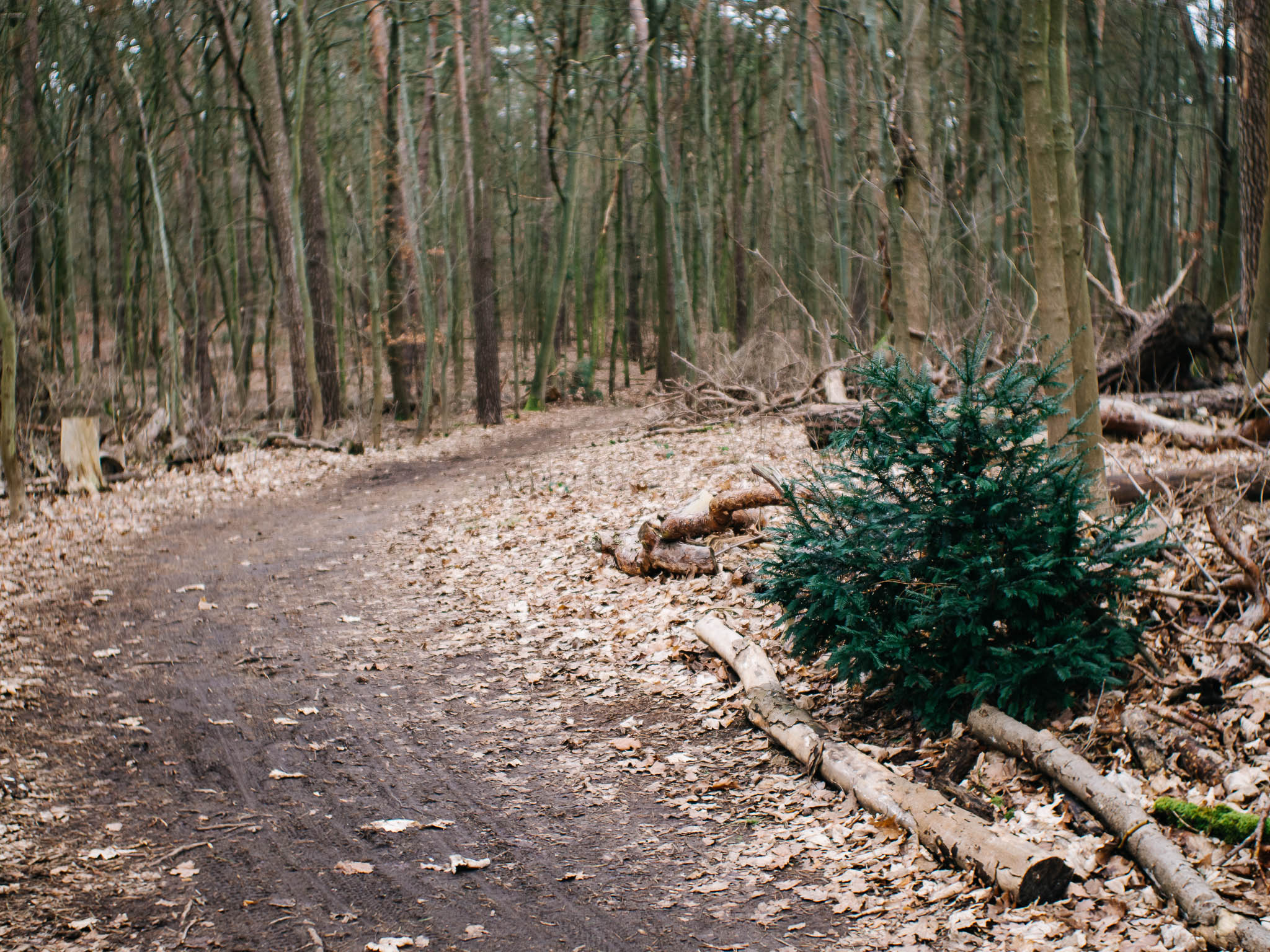
Düppeler Forst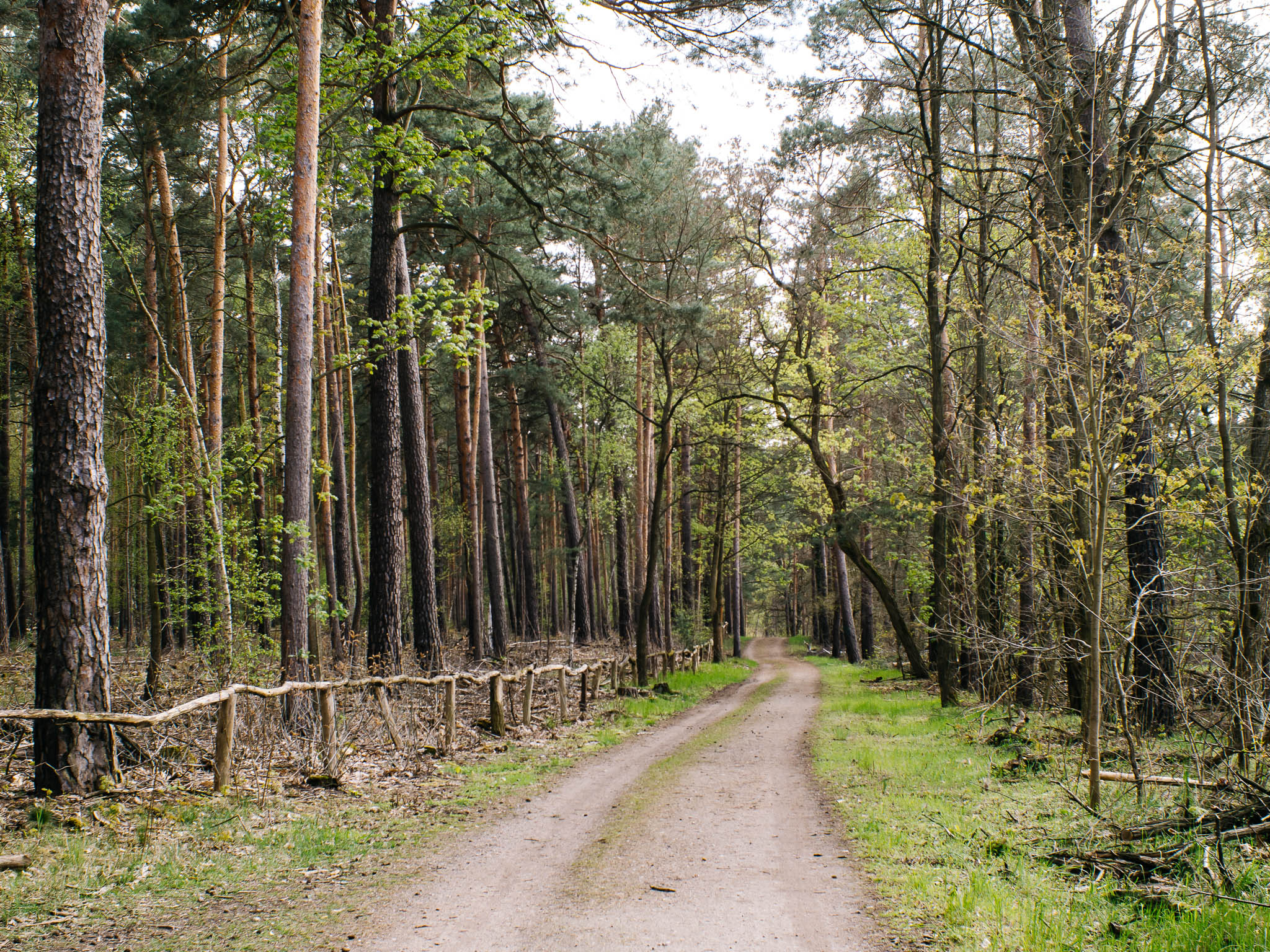
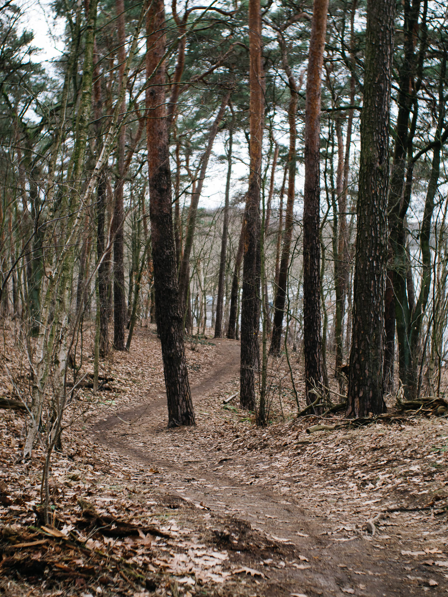
Singletrack by Teltowkanal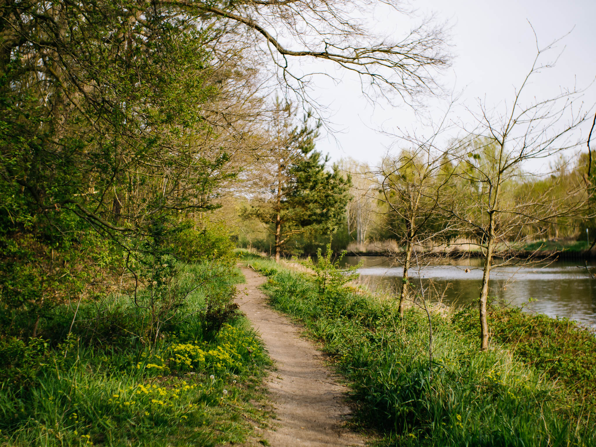
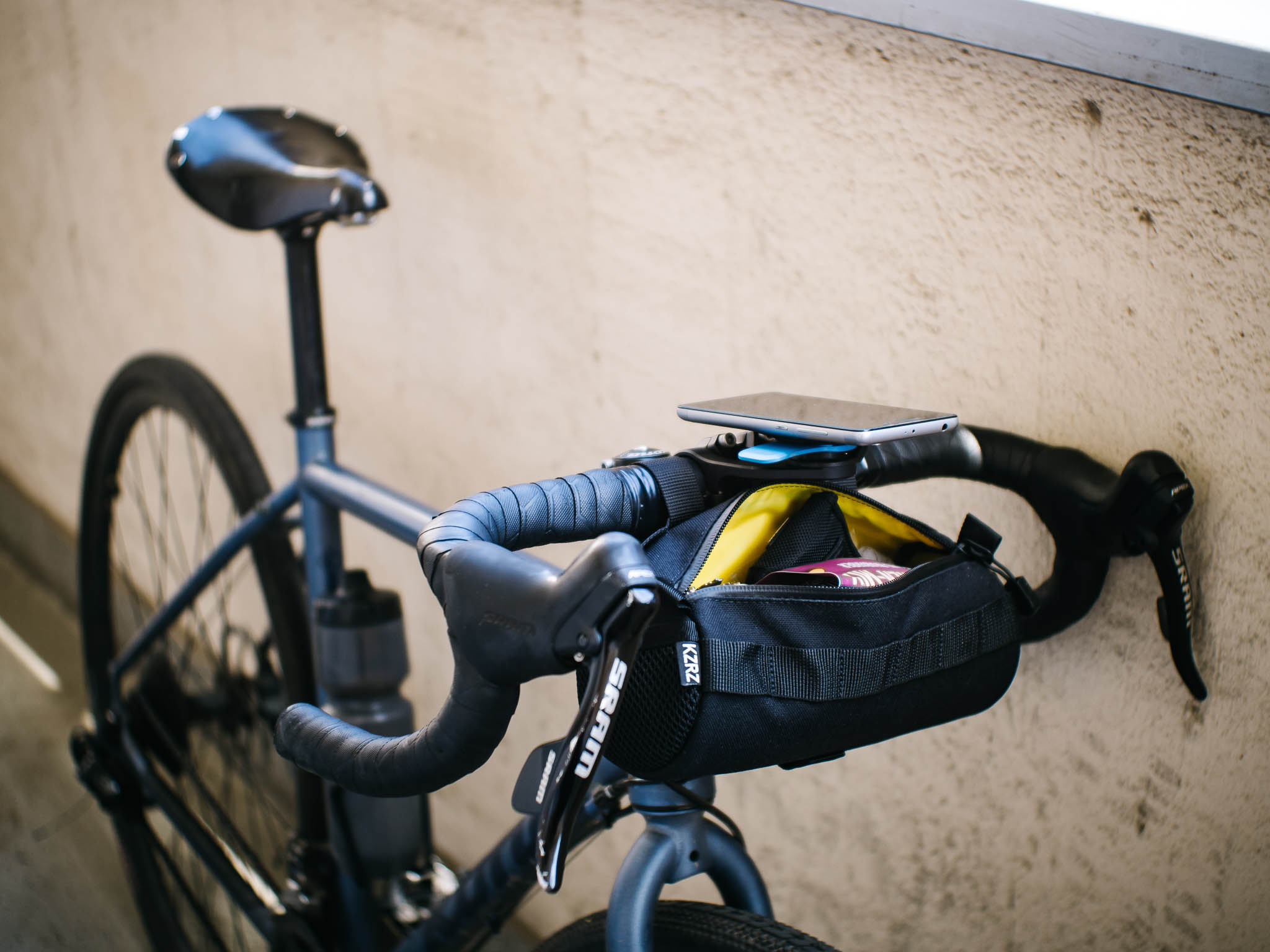
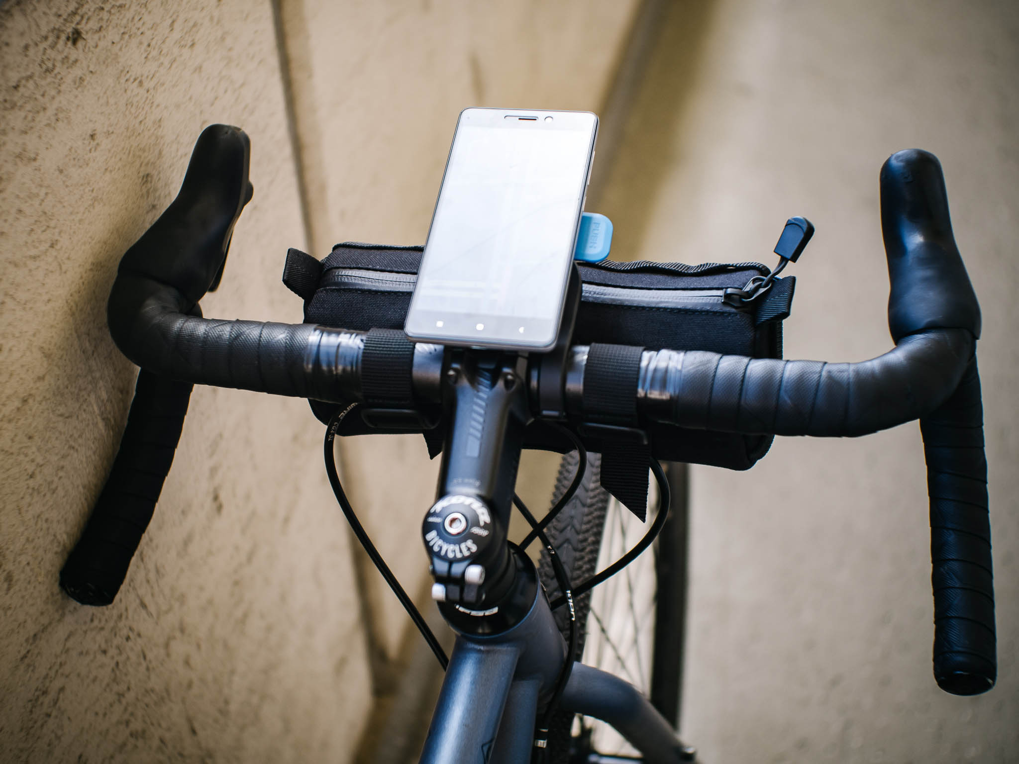
Finally a proper navigation setup! I’ve been furious about always having to take the phone from my pocket only to miss another turn I should have taken. Garmin did not seem like the best option for me and I had this old buggy Xiaomi phone laying around. Popping a power bank in the burrito bag and I have ~ 8 hours of navigation with unmatched offline maps! The best thing is to be able to do changes to the pre-planned route based on which path I like more and the route is then recalculated on the go.
Burrito bag from KRZR <3 | planning by Komoot | GPX import to Osmand or mapy.cz | QuadLock Out Front Mount Pro + Xiaomi Android phone + Xiaomi power bank.
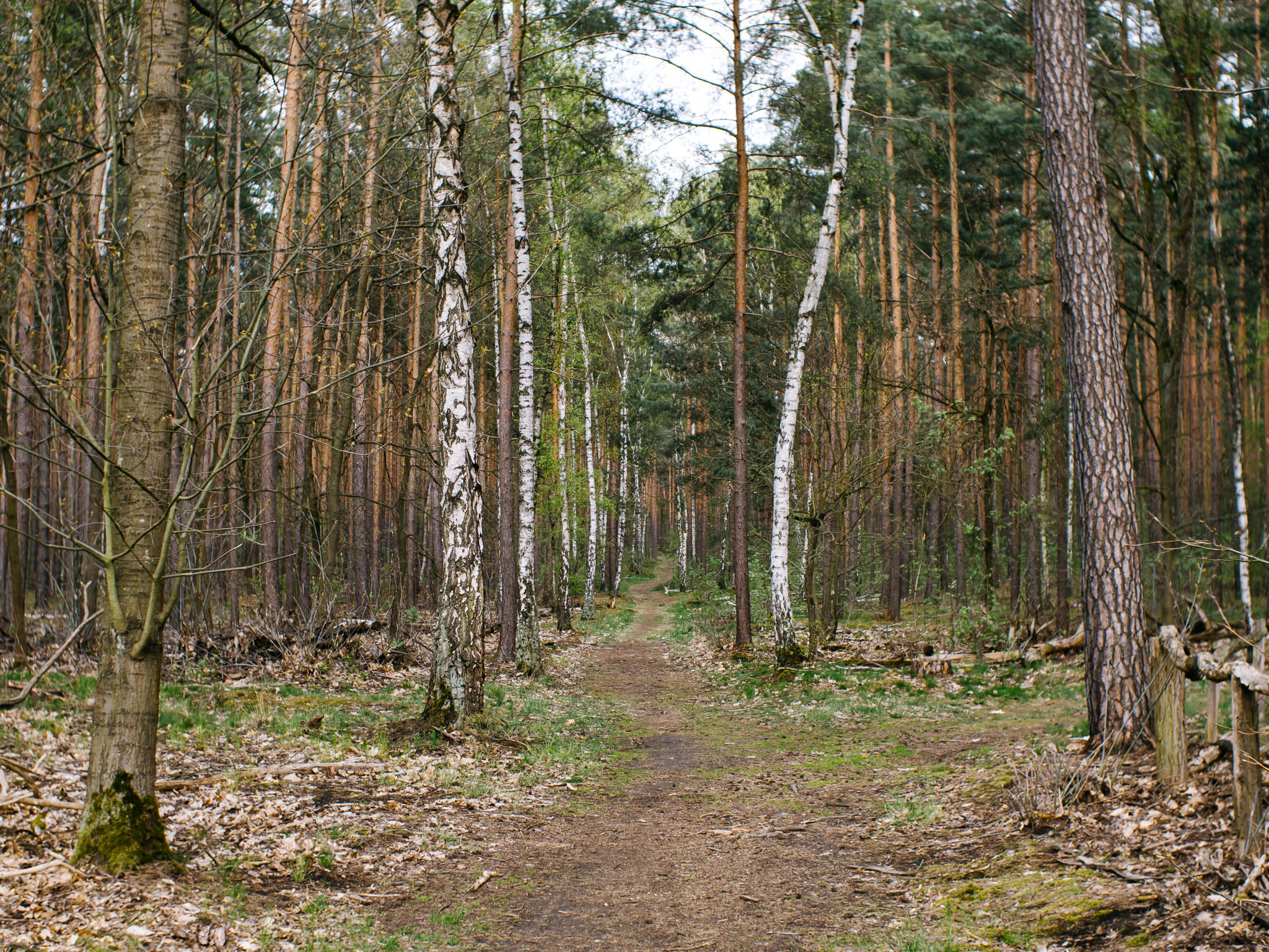
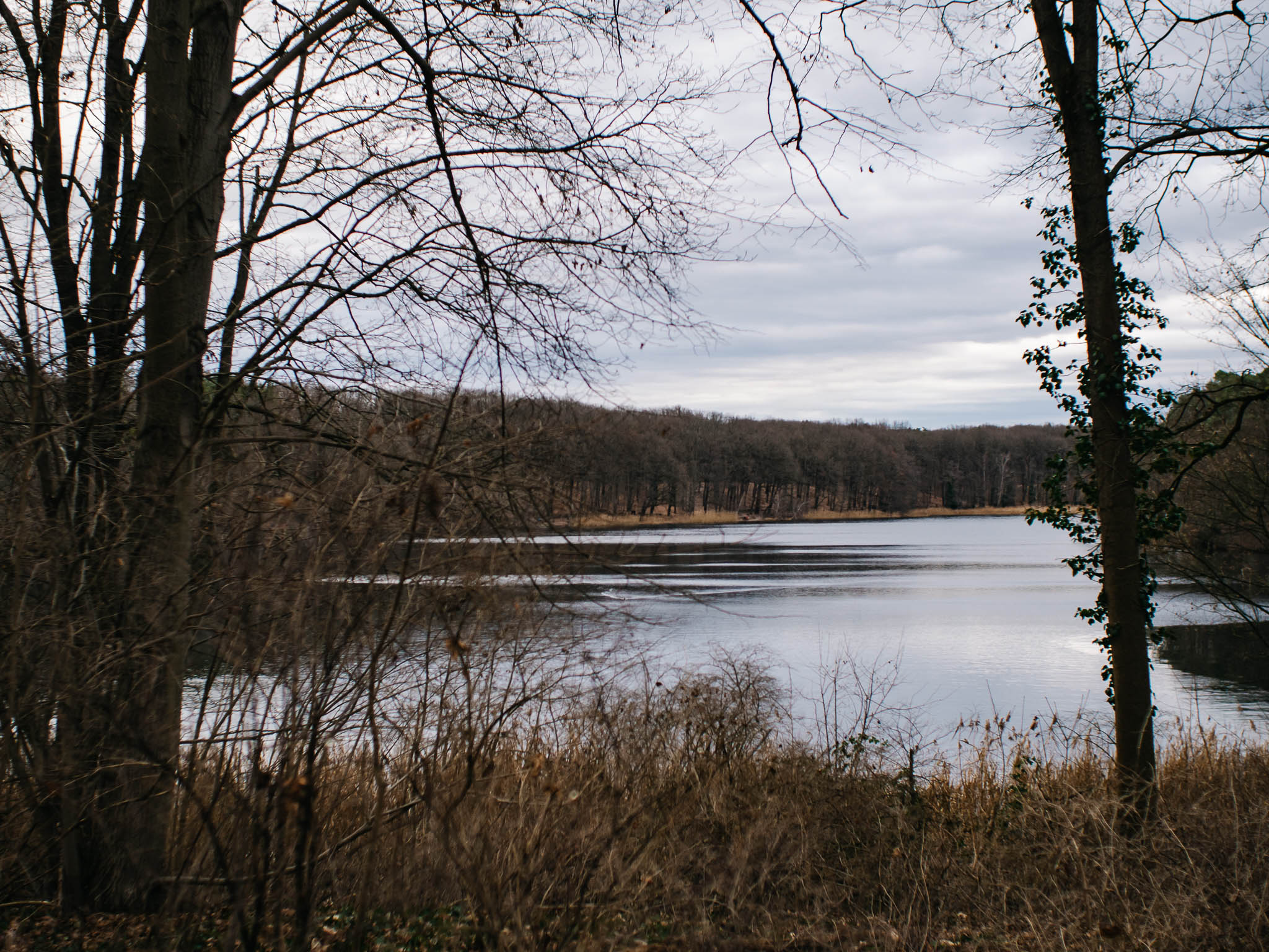
Sandgrube, Havelchausse & Schlachtensee
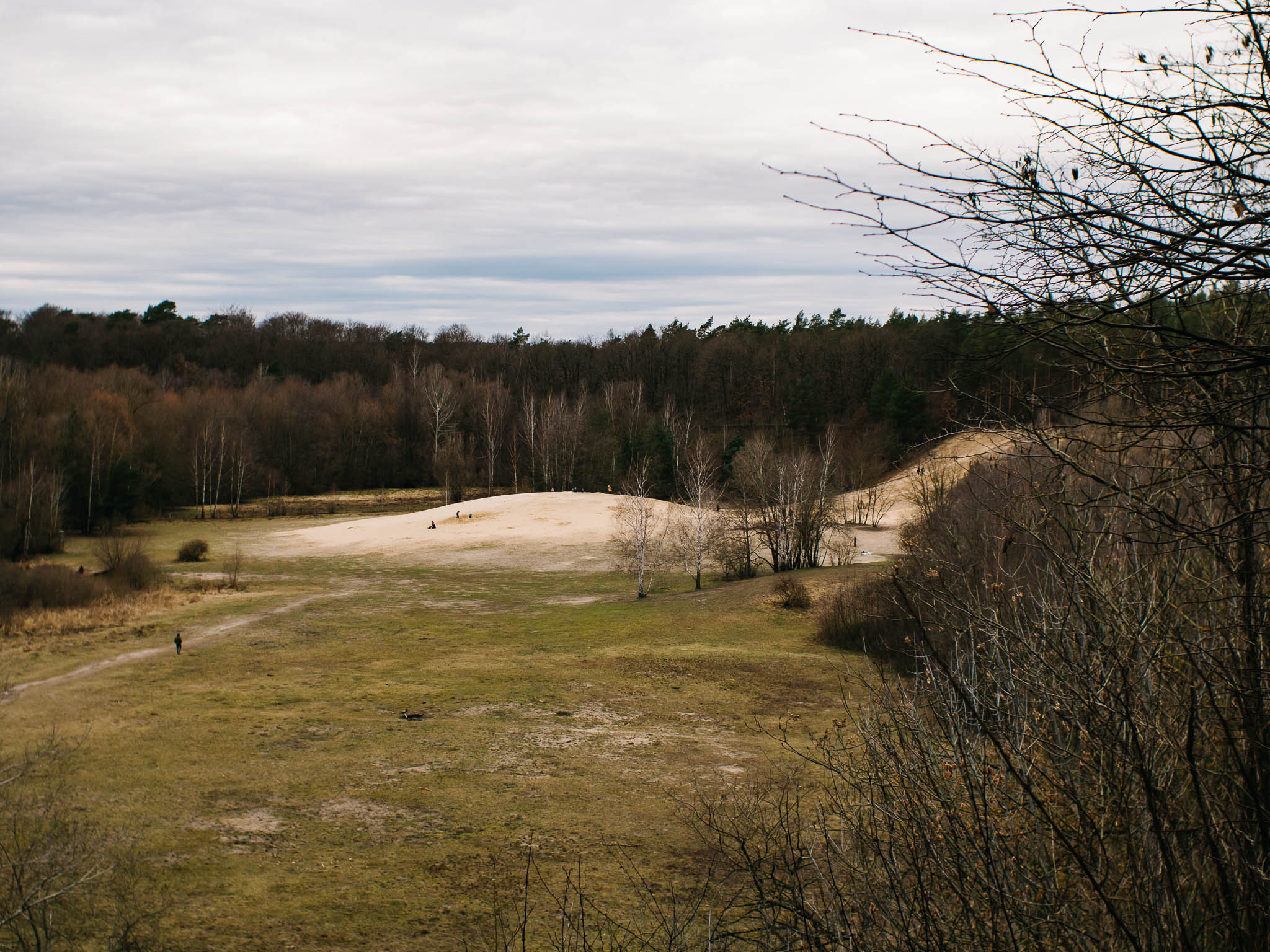
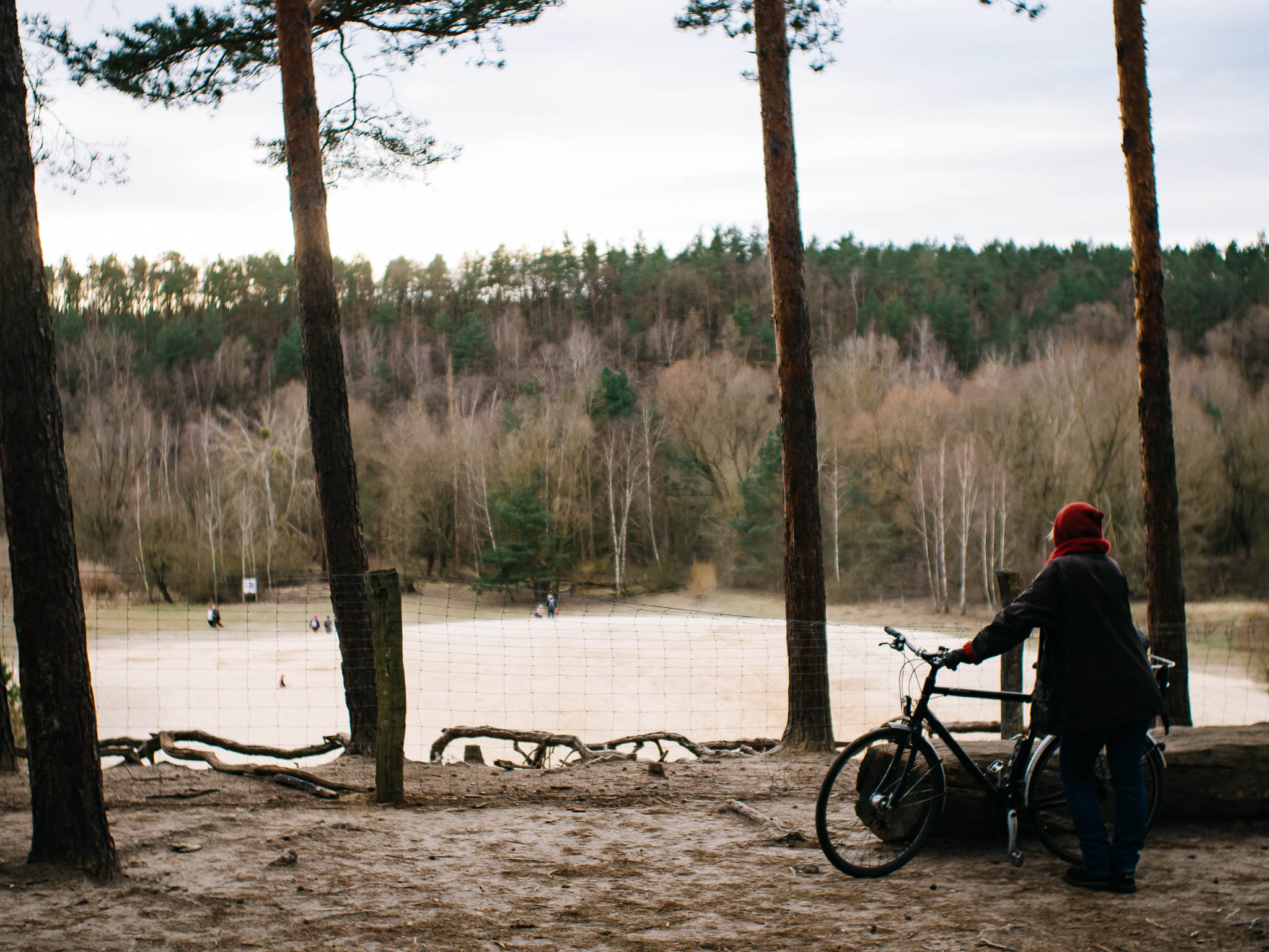
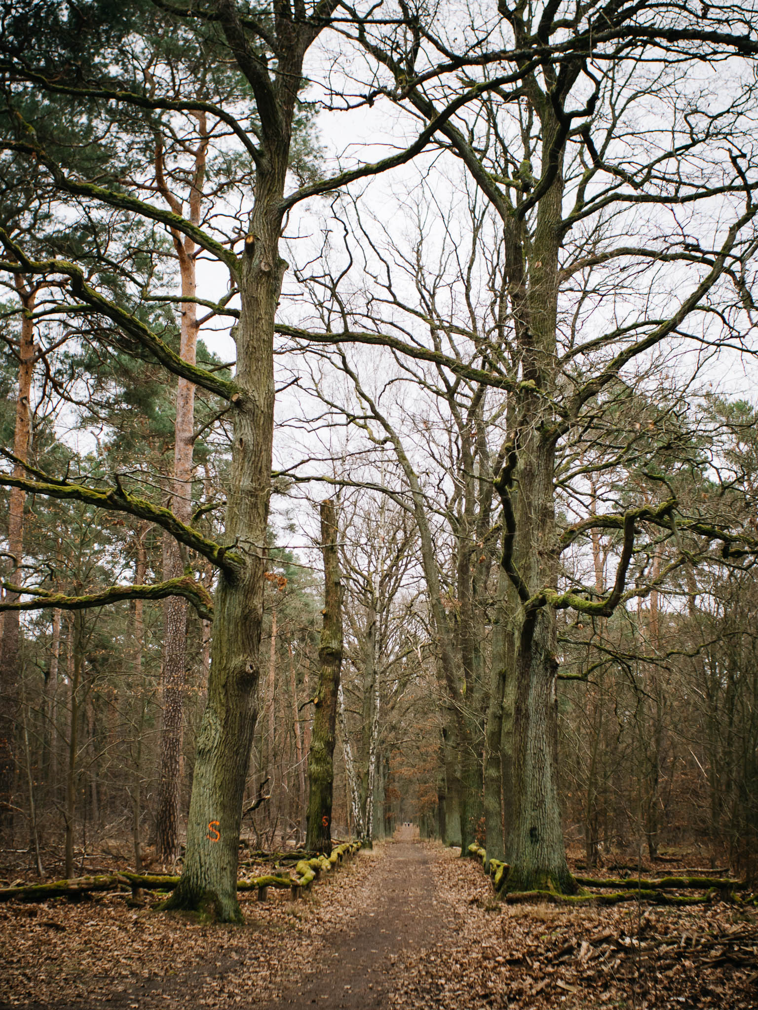
Sandgrube im Jagen 86
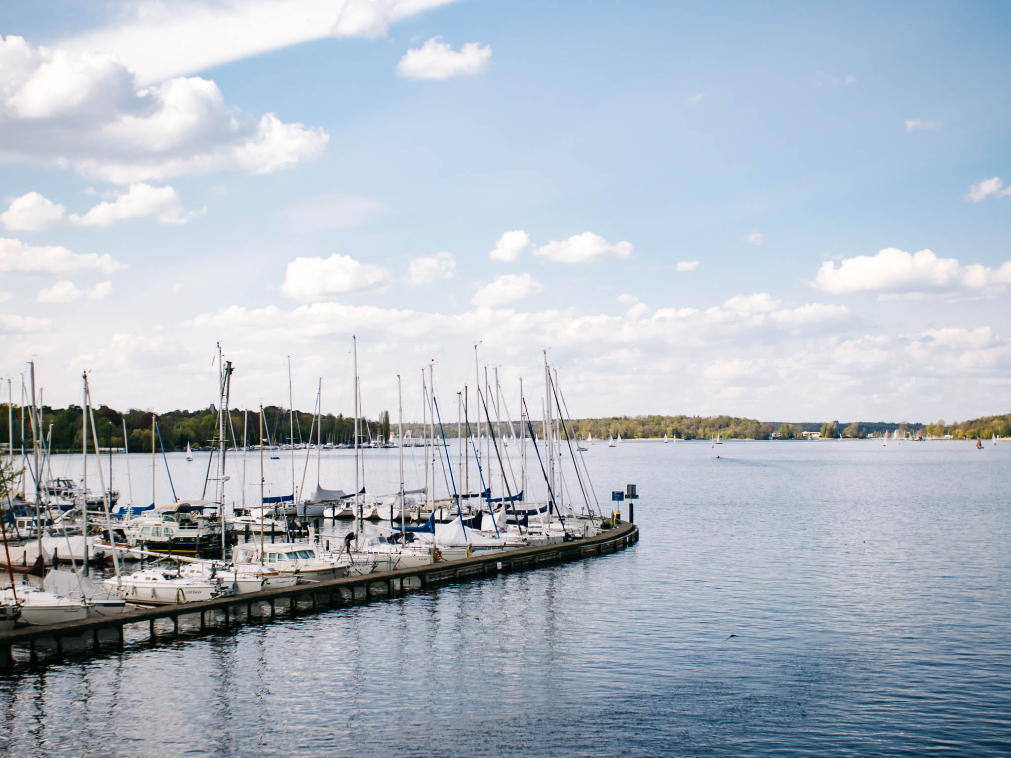
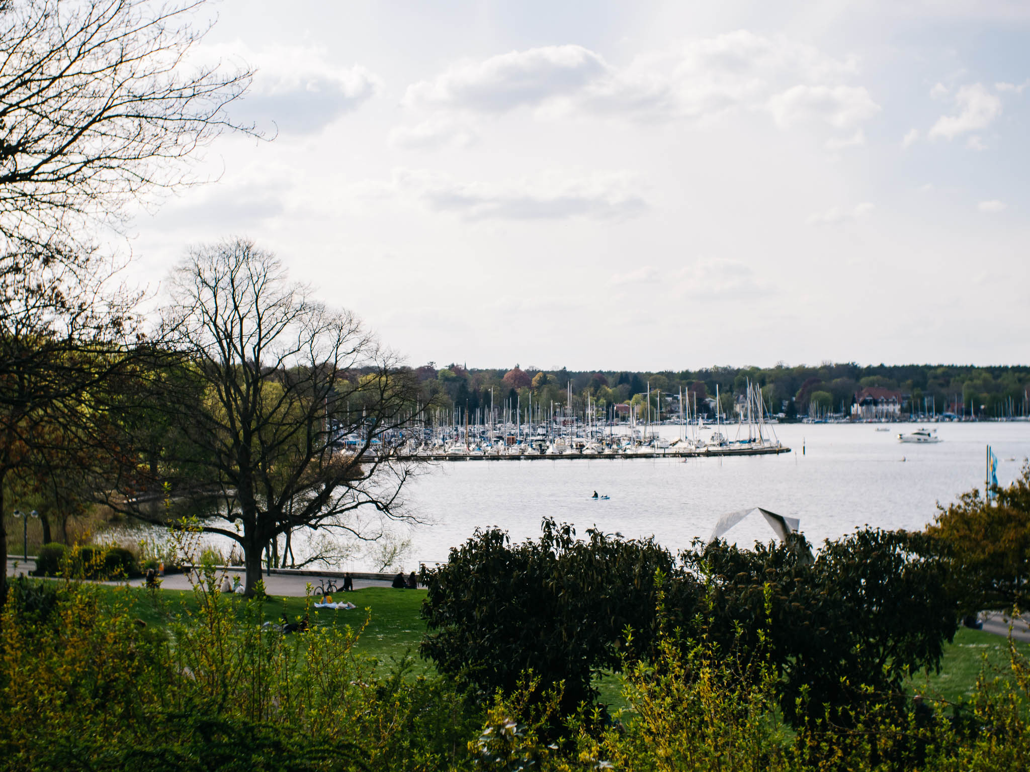
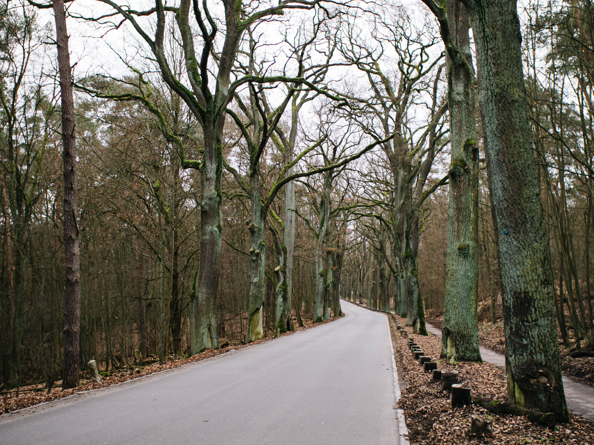
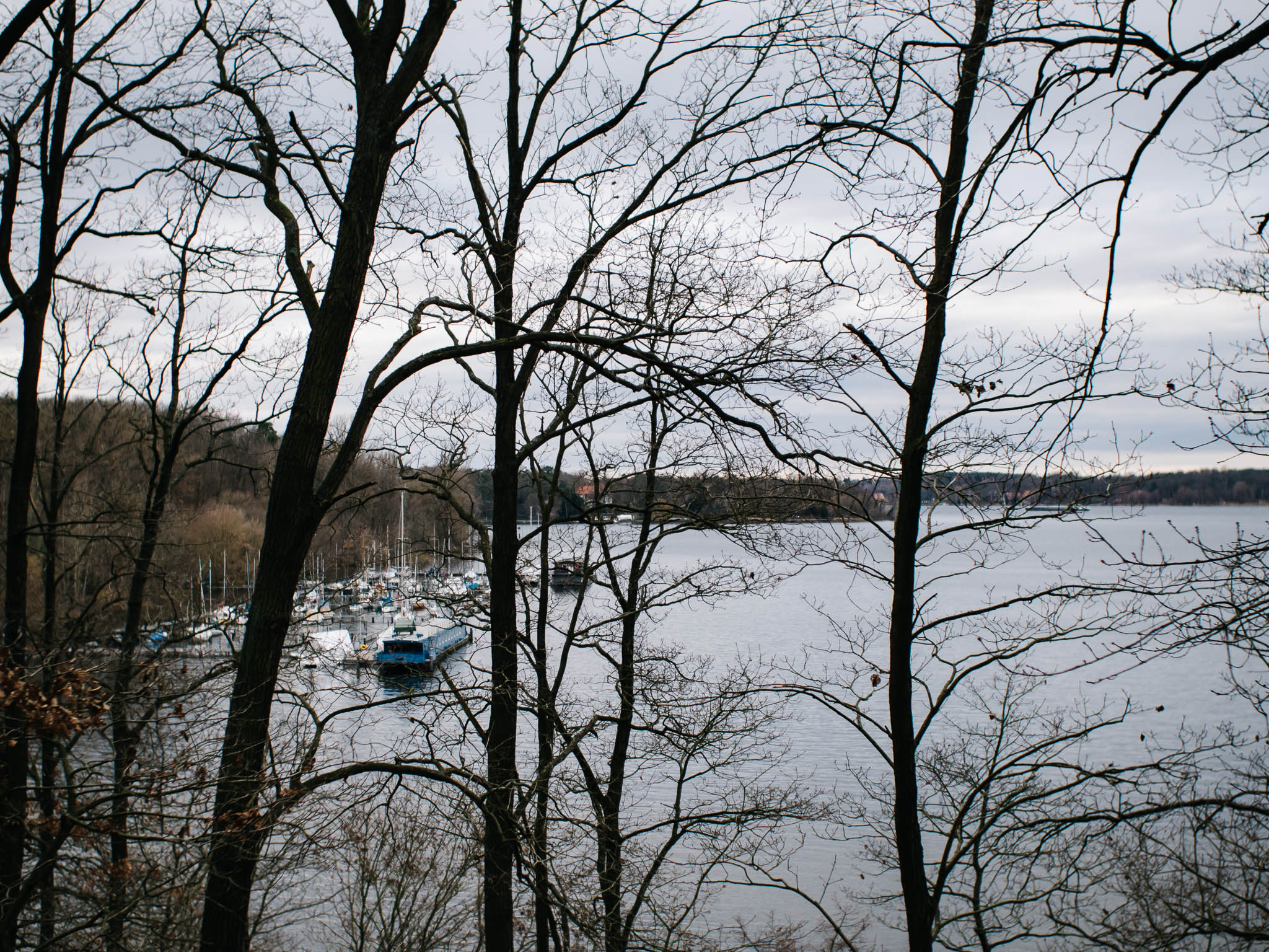
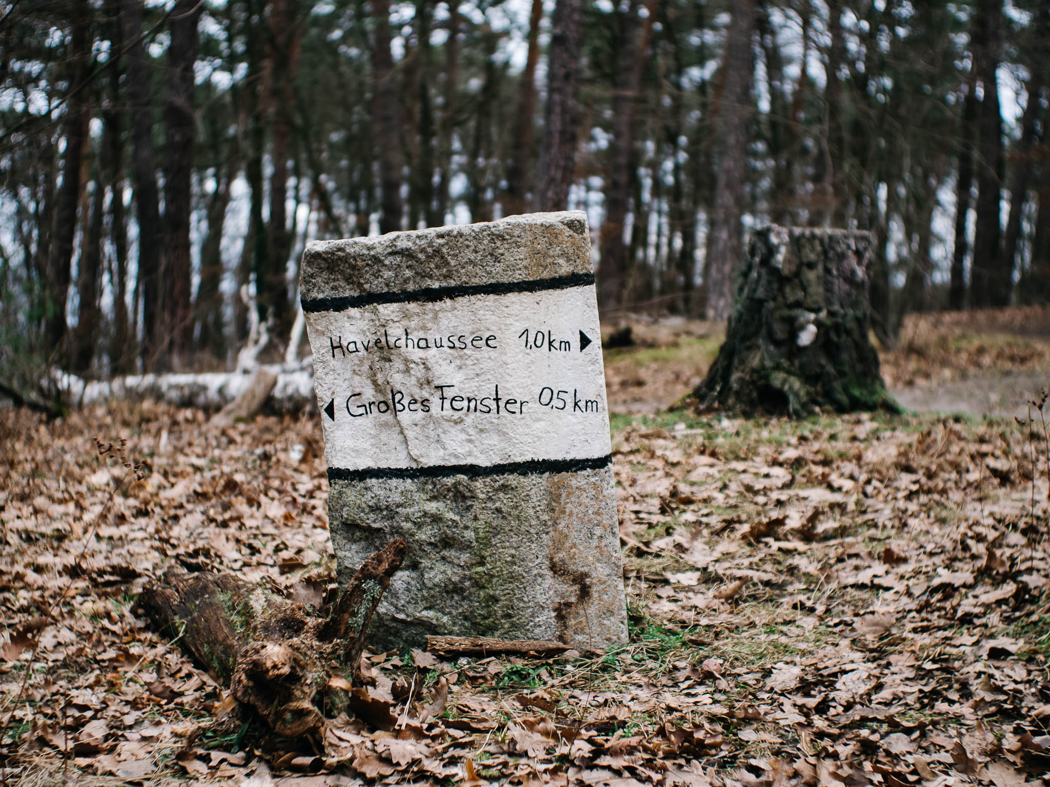
Havelchaussee
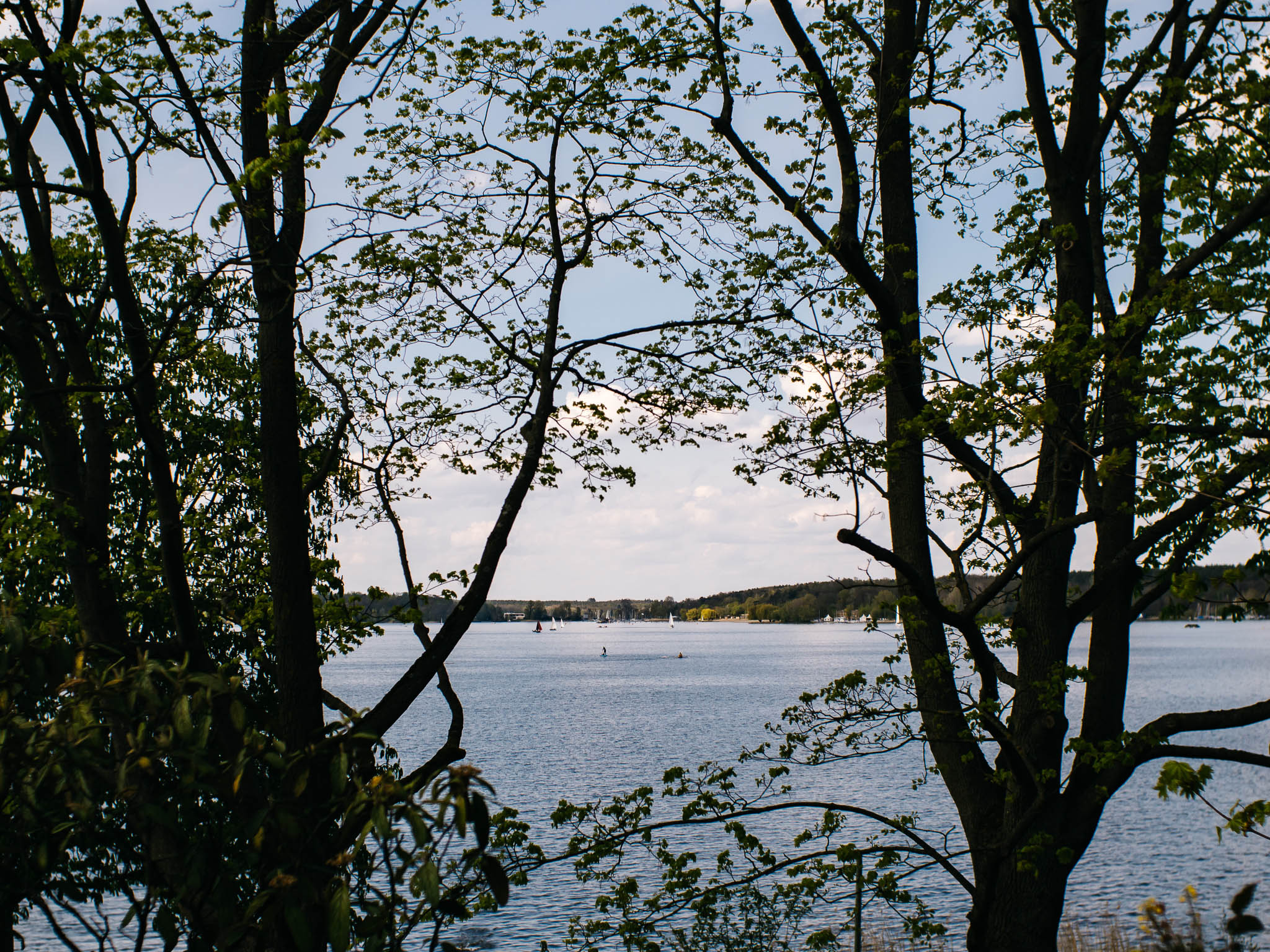
Havel
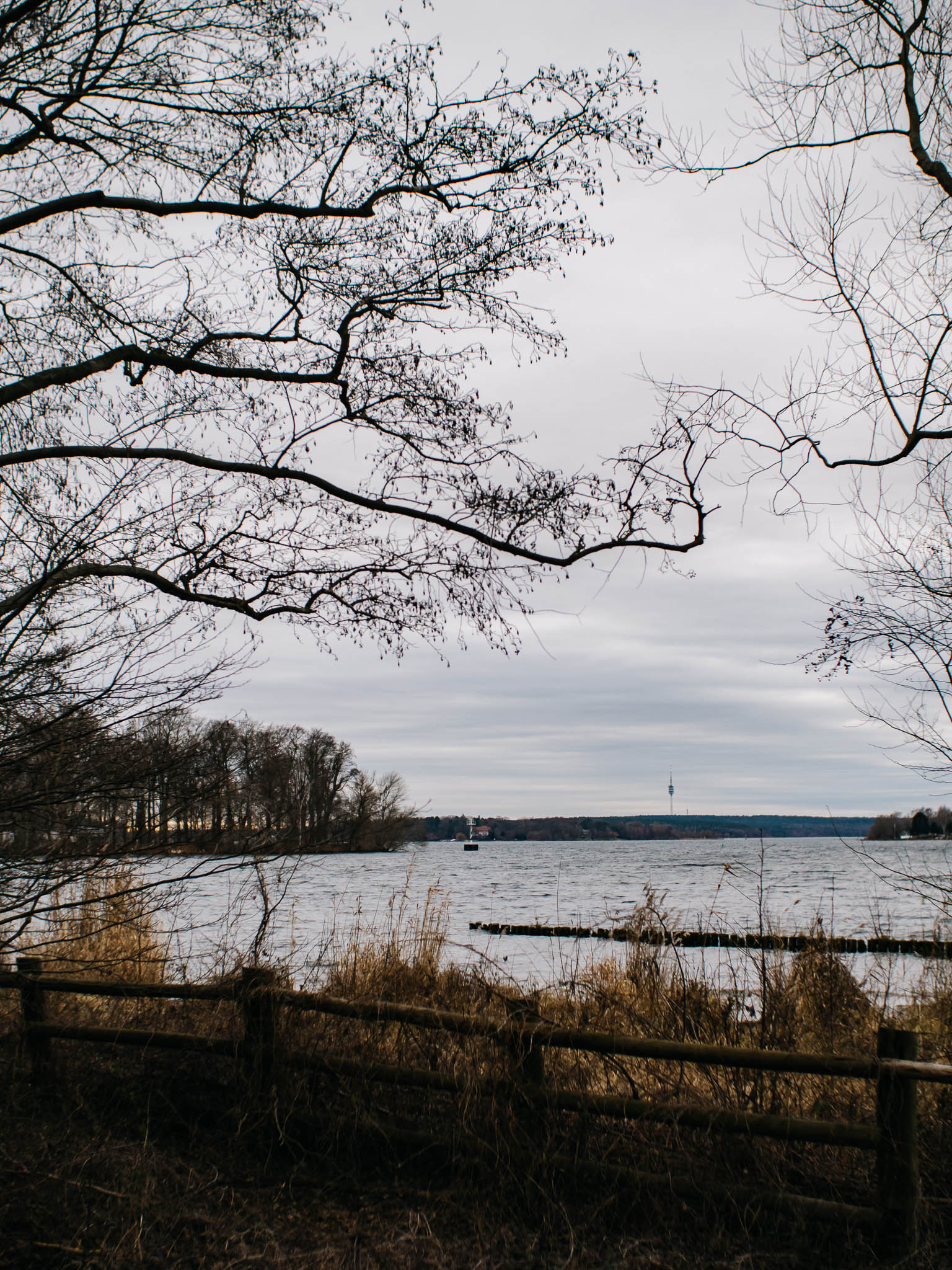
Havel & Grunewaldturm
Schlachtensee

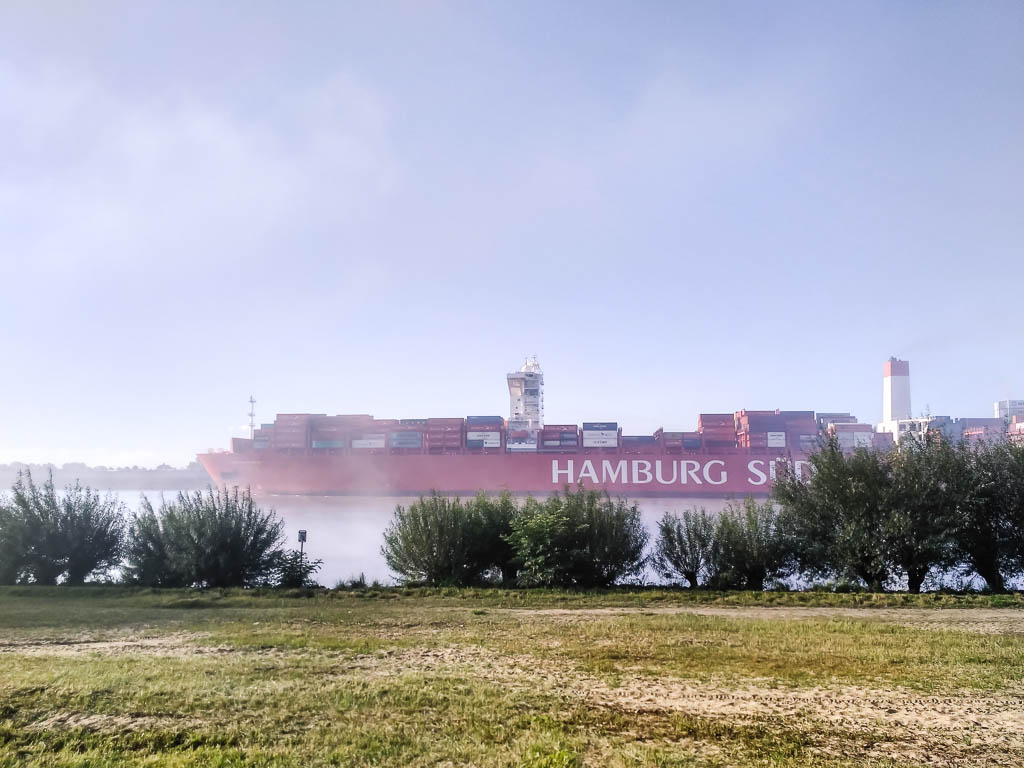
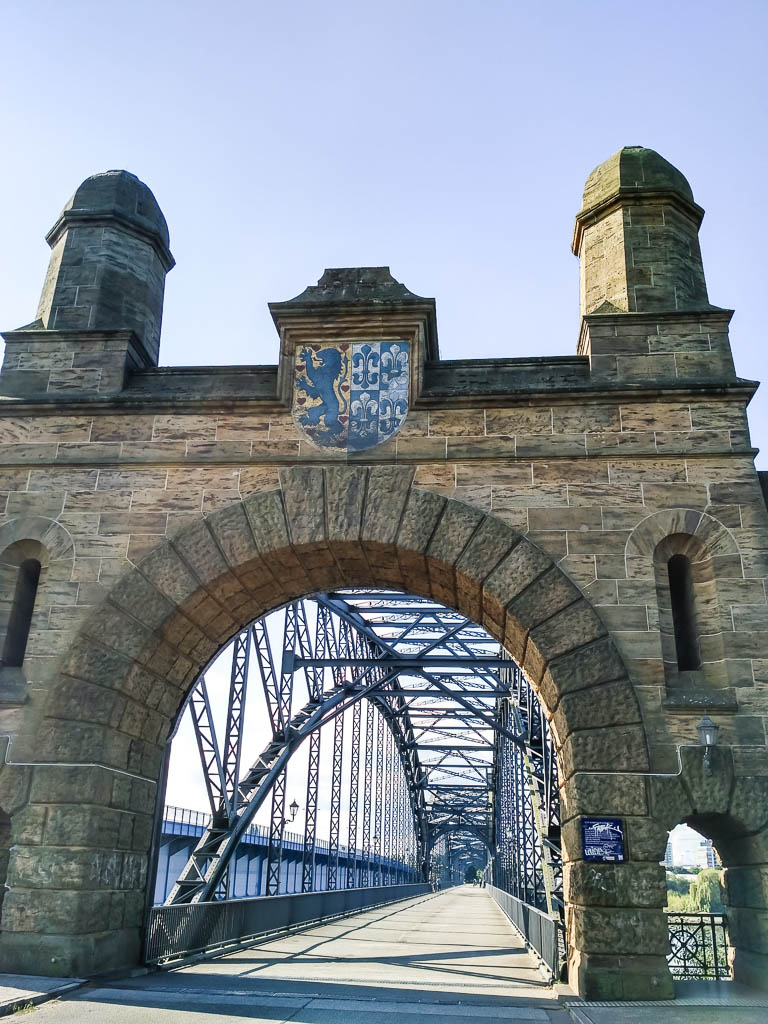
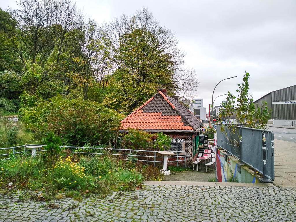
Harburger Elbrücke (ako vyzeral v 1907)
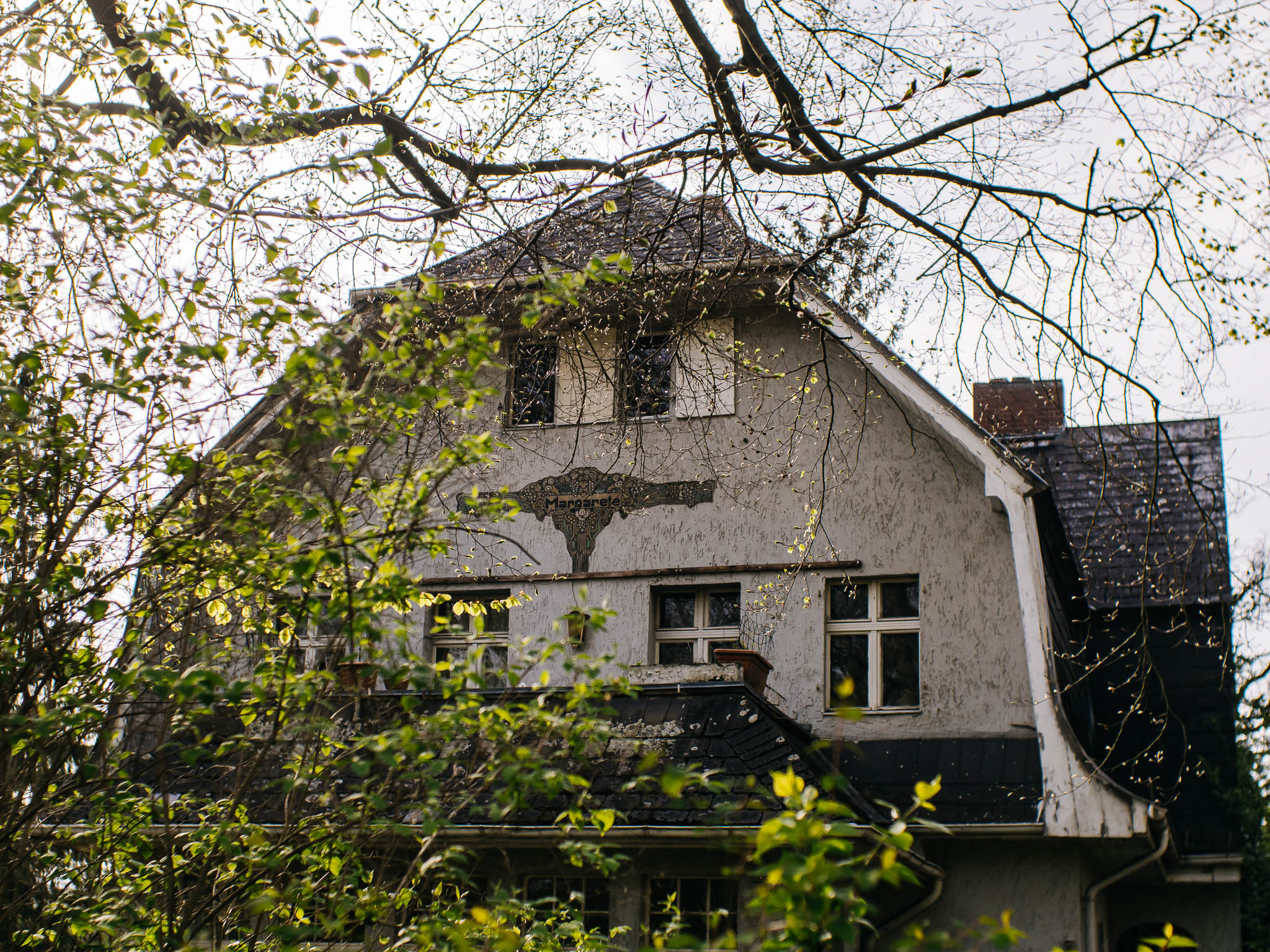
Zjavne majú radi búdy ako krčmy.
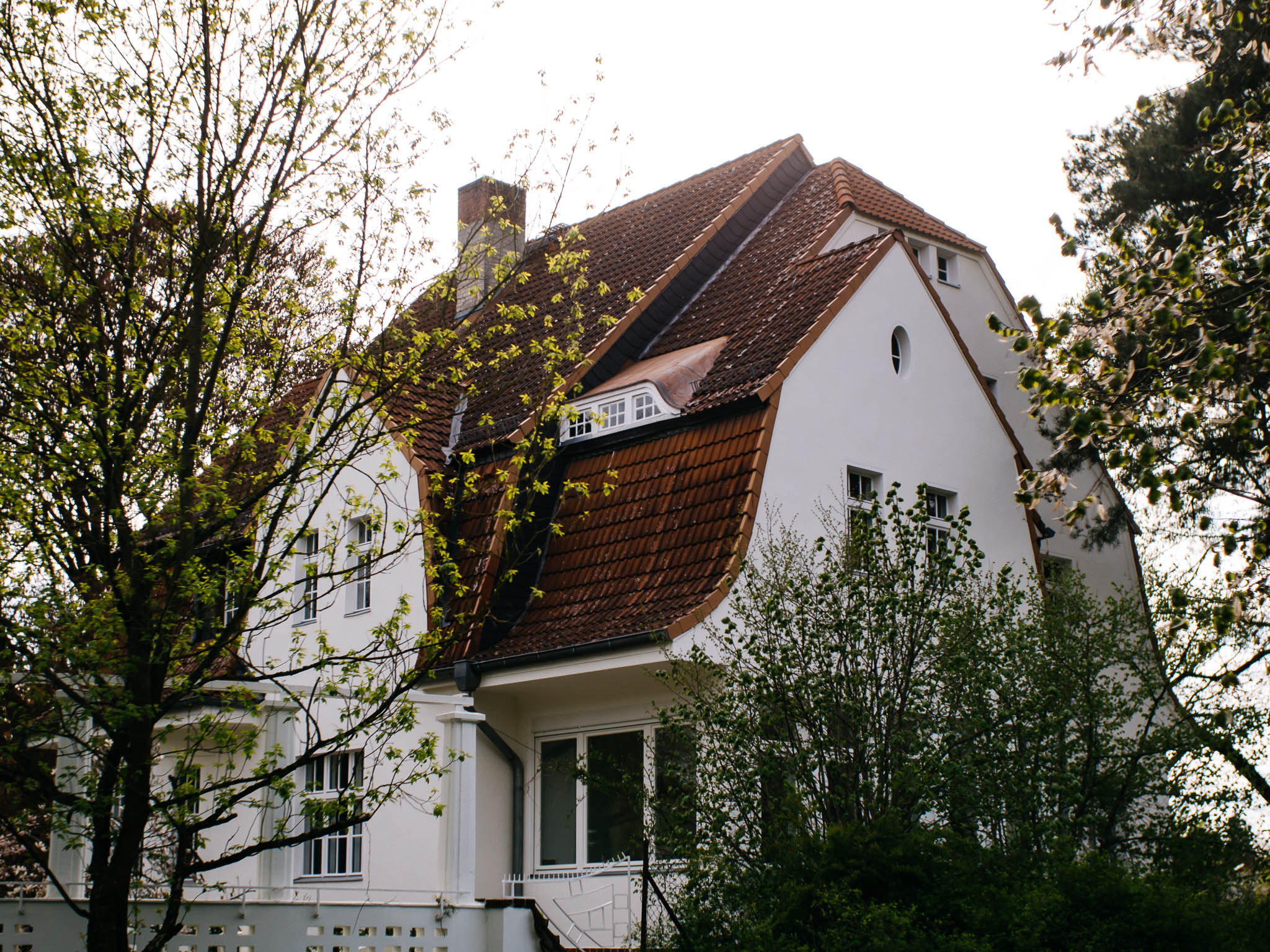
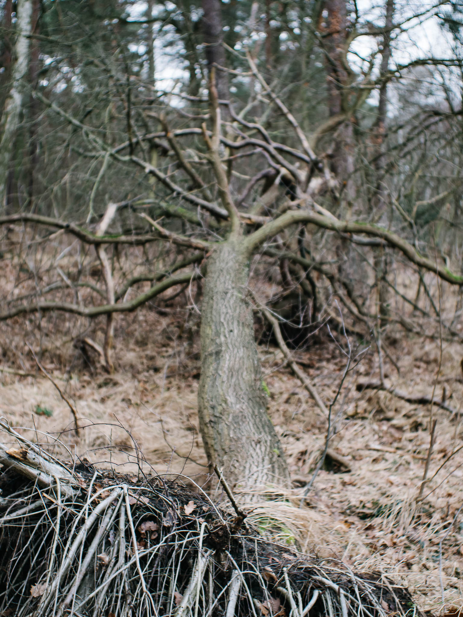
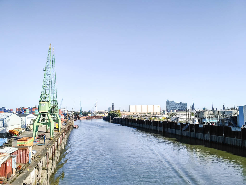
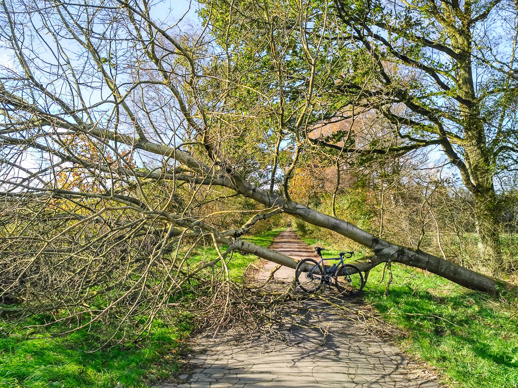
Už viem čo je tá Sturmflut. Neviem či bolo zrovna bezpečné hneď po nej ísť medzi stromy.